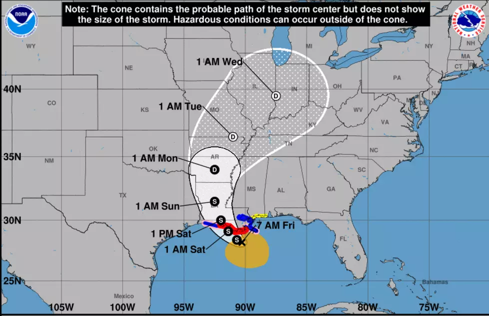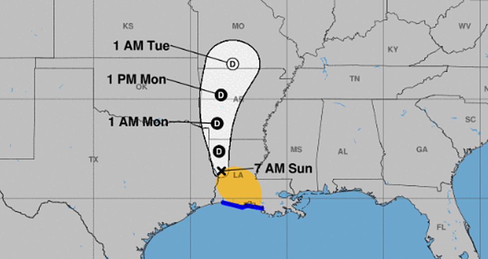
Latest NHC Update Puts Shreveport In Barry’s Direct Path
The National Hurricane Center's early morning update for Sunday, July 14th shows the path of Tropical Storm Barry to include Shreveport, Bossier City, and all of Caddo and Bossier Parishes.
The updates shows that "tropical storm force winds" are expected in the southern portions of Caddo and Bossier Parishes after 8am, with the winds making their way through the region by the early afternoon.
Taking a direct hit appears to indicate that Caddo and Bossier Parishes will see the biggest impacts of the storm coming in the form of wind. With the majority of the precipitation taking place on the East side of the storm. Cities like Lafayette and Baton Rouge have been dealing with the rainfall since early yesterday morning, and now cities like Monroe and Ruston will be in the path of the heavy rainfall.
The National Hurricane Center indicates that the intensity of the winds associated with Barry may slow down by the time it arrives in Shreveport, downgrading the storm to a Tropical Depression.

Even if the winds slow down, the rain will continue with the storm system.
More From Highway 98.9