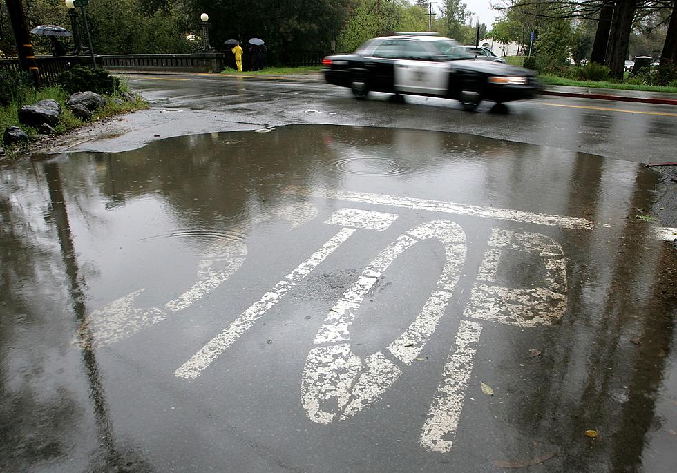
The National Weather Service has fine-tuned Thursday's severe weather potential for all of Louisiana. Much of the state is at risk for strong storms today.
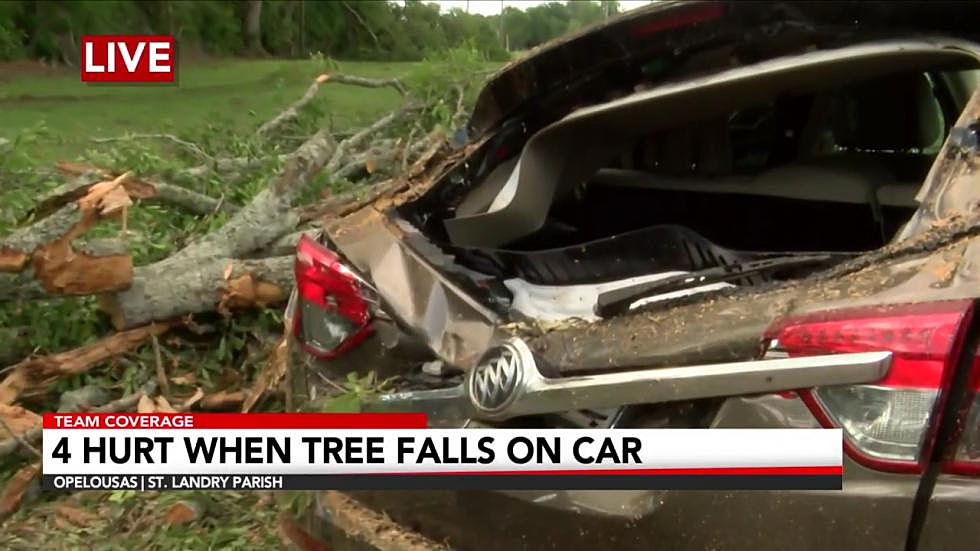
Severe weather watches and warnings have been posted for many Louisiana parishes early this Monday as a line of strong to severe thunderstorms moves across the state.
Data compiled from NOAA shows which Louisiana parishes are most likely to experience tornadic activity. Some of those parishes have already had touchdowns this year.
Severe weather is not rare in Louisiana but this particular kind of forecast is rarely made when identifying a potentially dangerous weather situation.
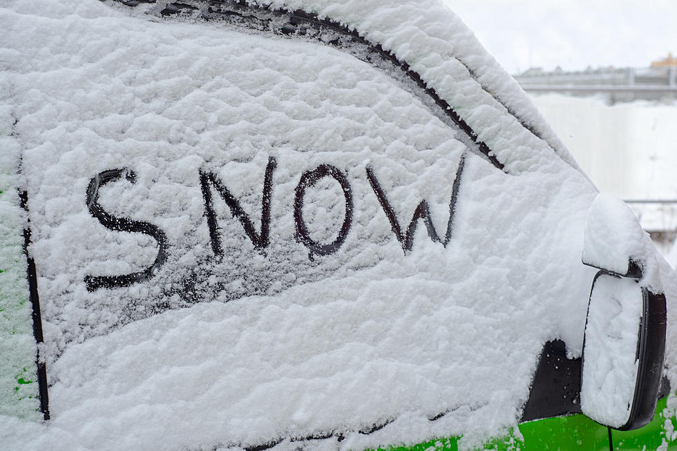
Forecasters with the National Weather Service have greatly revised the Christmas forecast for Louisiana. You might have a long way to go if you want to see snow.
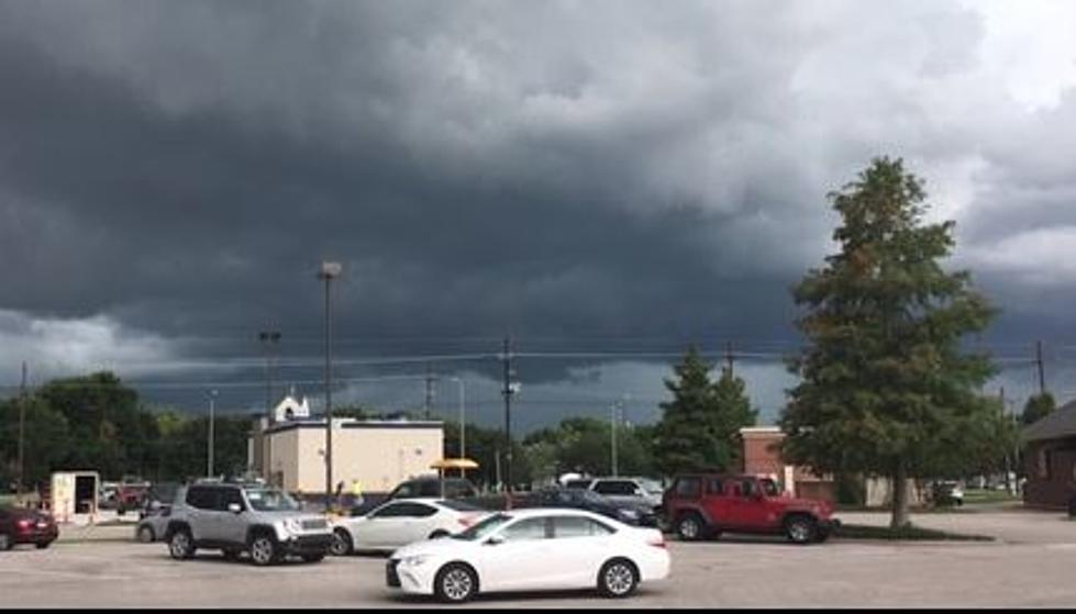
The weekend won't be a total washout across Louisiana but it will be punctuated by the threat of severe storms, damaging winds, and cold temperatures by Sunday.