The National Weather Service and Storm Prediction Center say the threat of severe storms and tornadoes will increase across Louisiana today and tonight.
The National Weather Service has fine-tuned Thursday's severe weather potential for all of Louisiana. Much of the state is at risk for strong storms today.
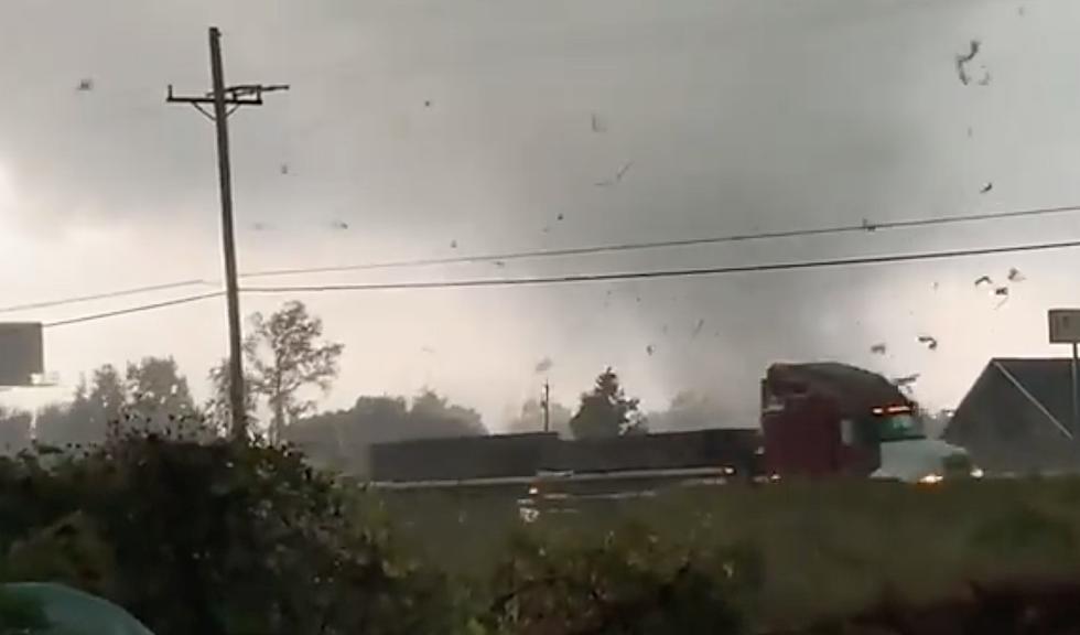
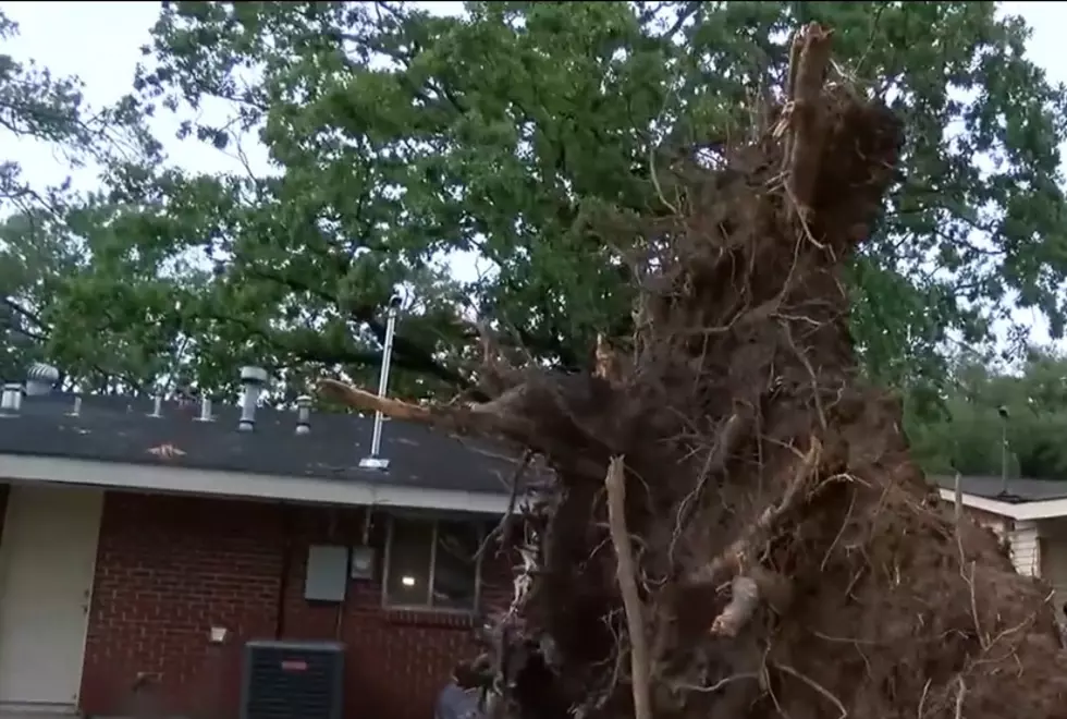
Severe weather watches and warnings have been posted for many Louisiana parishes early this Monday as a line of strong to severe thunderstorms moves across the state.
Data compiled from NOAA shows which Louisiana parishes are most likely to experience tornadic activity. Some of those parishes have already had touchdowns this year.
The National Weather Service is closely monitoring severe weather in Shreveport. Expect showers, thunderstorms, and isolated severe storms with hail and damaging winds.
The timing has once again shifted on the wet weather forecast for Louisiana this weekend. Mardi Gras events could be interrupted by storms on Saturday and Sunday.