Two More Tropical Hot Spots Being Monitored for Development
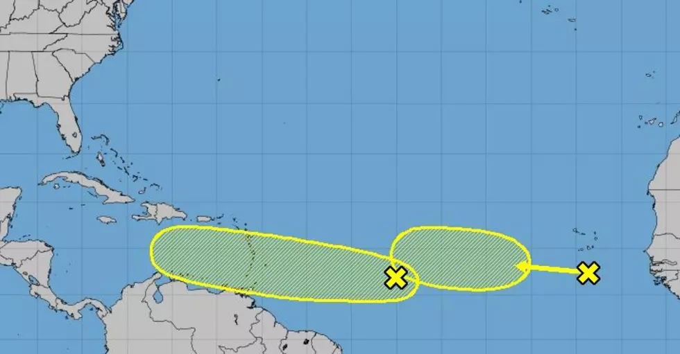
As Louisiana and Texas are licking their wounds from recently passed major Hurricane Laura tropical forecasters are currently watching what could become the 2020 Hurricane Season's next tropical cyclones. Currently, the National Hurricane Center has identified two tropical waves that bear watching for development over the next five days.
Both waves are currently located below 15N latitude and both are expected to migrate westward toward the islands of the Caribbean. The closest wave was about 1,000 miles east of the Windward Islands. The other wave was at a similar latitude but closer to the African coast near the Cabo Verde Islands.
In both cases, forecasters have given the system's a 30% probability of spinning up into tropical cyclones over the next five days. We can tell you that at least one very long-range tropical forecast model does show a tropical entity in the Gulf of Mexico around September 10th. But, please remember, that is a model forecast and it is a very long-range forecast, so don't take that information to close to heart.
Despite the fact that Louisiana's coastline has already experienced two landfalling tropical systems this season you have to remember we still have a long way to go until the colder temperatures of October and November quell the activity. In fact, the climatological peak of hurricane season doesn't occur until September 10th.
What will happen with these two systems? It's going to be the standard "wait and see". I can only hope that we get to do a lot more waiting and a lot less seeing as far as tropical weather is concerned.
Can the Average Person Outrun These Louisiana Creatures?
More From Highway 98.9


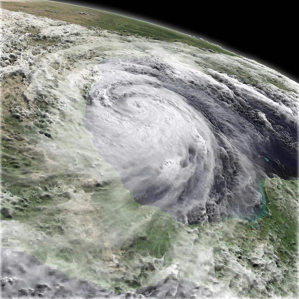
![State’s Homeland Security Plans Tested by Hurricane Laura [VIDEO]](http://townsquare.media/site/180/files/2020/08/hurricane-4.jpg?w=980&q=75)

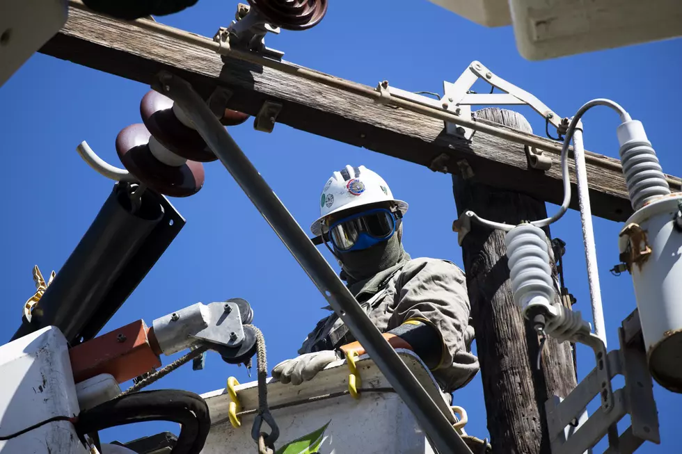
![SWEPCO Repair Crews Could Total 3,000 [VIDEO]](http://townsquare.media/site/180/files/2020/08/hurricane-3.jpg?w=980&q=75)
![LSU Tigers Fan Trolls Weather Channel Reporter During Hurricane [VIDEO]](http://townsquare.media/site/34/files/2020/08/Screen-Shot-2020-08-27-at-11.03.51-AM.jpg?w=980&q=75)