NOAA Revises Hurricane Season Forecast to ‘Extremely Active’
Earlier this week meteorologists with Colorado State revised their forecast for the 2020 Atlantic Hurricane Season in a most ominous direction. Their updated outlook called for even more storms and stronger storms to develop before the season ends in late November.
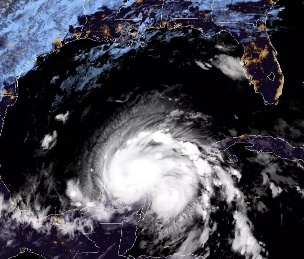
Yesterday forecasters with NOAA's Climate Prediction Center followed suit and revised their preseason tropical outlook from "Active" to "Extremely Active". Which, based on the evidence we've already seen this year, would be a no-brainer. The 2020 Season has already produced nine named storms. The most recent, Hurricane Isaias, was threatening the Florida coast at this time last week.
The updated outlook from NOAA is calling for 19 to 25 named storms during the 2020 season. Which is pretty troubling since the National Hurricane Center only announces 21 names for storms each season. Should the season reach 19 storms that would carry us to the "T" storm or Teddy. If we make it all the way to named storm number 25 we'll be using letters of the Greek alphabet.
You might recall the last time a hurricane season was so active, it was 2005. The year of Katrina, Rita, and Hurricane Epsilon and Tropical Storm Zeta. Yeah, we got that far down the list in 2005. Unfortunately, conditions in the tropics in 2020 look eerily similar to what they were in 2005.
The bottom line is this. The time to prepare for a tropical weather event is now. However, this year your hurricane kit will need to include a COVID-19 strategy as well. So, let's get those plans in place and hope that we won't have to use them.
By the way, some good news on the tropical weather front, as of this morning the Tropical Atlantic Basin is quiet and no tropical development is expected for the next five days. Whew, catch your breath while you can.
Can the Average Person Outrun These Louisiana Creatures?
More From Highway 98.9


