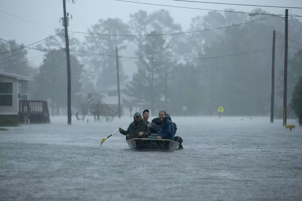
The National Hurricane Center has classified Hurricane Laura as a 'Major Hurricane' with the potential for catastrophic storm surges, extreme winds, and flash flooding. The storm is currently a Category 3 hurricane with potential to reach a Category 4 before making landfall. Not only will this directly impact South Louisiana but could potentially cause damage in North Louisiana as well. The National Weather Storm predicts Laura could reach our area as a Category 1 hurricane and cause flash flooding, tornadoes and wind damage. Check back here for all updates on the storm.
Hurricane Laura

Laura Expected to Remain Hurricane All the Way Into Northwest Louisiana
As we are currently under a "Tropical Storm Warning," the NWS is projecting four to six inches of rain here in Shreveport, Natchitoches and Homer.

Several Area Schools & Business Closing as Hurricane Laura Approaches
Some schools and businesses are closing as the storm moves in our direction.
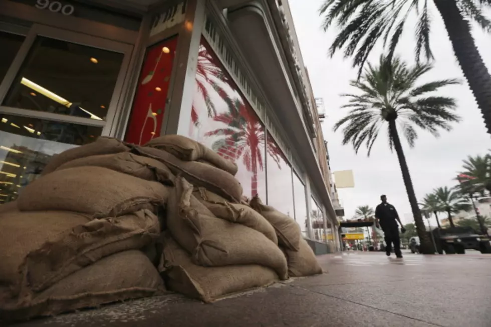
Sandbag Pickup Locations in Shreveport/Bossier
In the face of Hurricane Laura making a direct impact on Louisiana, our area could see substantial flooding, and area agencies are making sandbags available to residents to protect their property.

Governor Warns La. Citizens to Prepare For Possibly Worst Storm in 15 Years
Hurricane Laura is proving to be a real threat. One that Governor Edwards feels Louisiana must begin preparing for right now.
Lake Charles Area Could See 15-ft Storm Surge from Laura
As the hours pass, hurricane models continue to track the routes of Marco and Laura.